
Drivers looking to avoid the often-unavoidable Metro Vancouver traffic jam got some help from TransLink on August 14 when the transit authority revealed a new online map that tracks traffic levels in real time across the region.
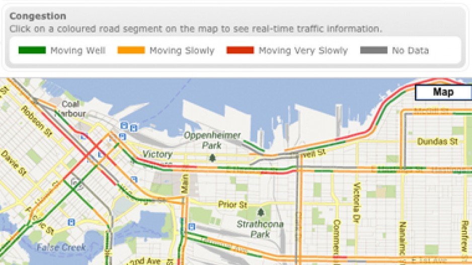
The free map, available here, uses a colour-coding system on major highways and roads in Metro Vancouver to indicate real-time traffic conditions. Green means traffic is moving well, orange means traffic is slow and red means traffic is very slow.
Data for the map is gleaned from anonymous tracking of cell phone signals using GPS technology. According to a B.C. government press release, all personal information is removed before one’s location is inputted in the system.
The map covers Highway 1 from Chilliwack to Whistler, the Highway 99 corridor from the Peace Arch crossing to Whistler and all other numbered highways and major roads in Metro Vancouver.
“This new traffic map will help thousands of Metro Vancouver drivers as they plan their commutes,” said Minister of Transportation and Infrastructure Todd Stone.
“This real-time traffic tool will help people and goods move more efficiently along our major transportation networks.”
The TransLink-developed project, which cost $1.2 million, was paid for by Transport Canada ($490,000), the B.C. government ($335,000) and TransLink ($375,000).


